LiDAR
Archaeology and Citizen Science

How to Use the Web Map
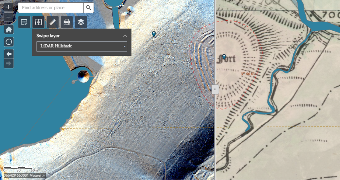
Explore the LiDAR Web Map
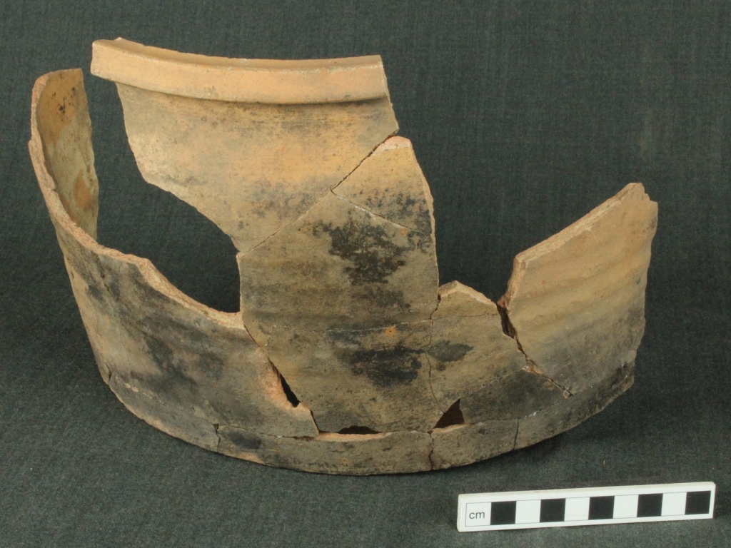
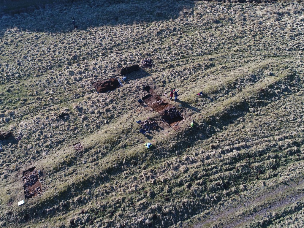
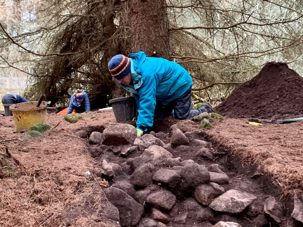
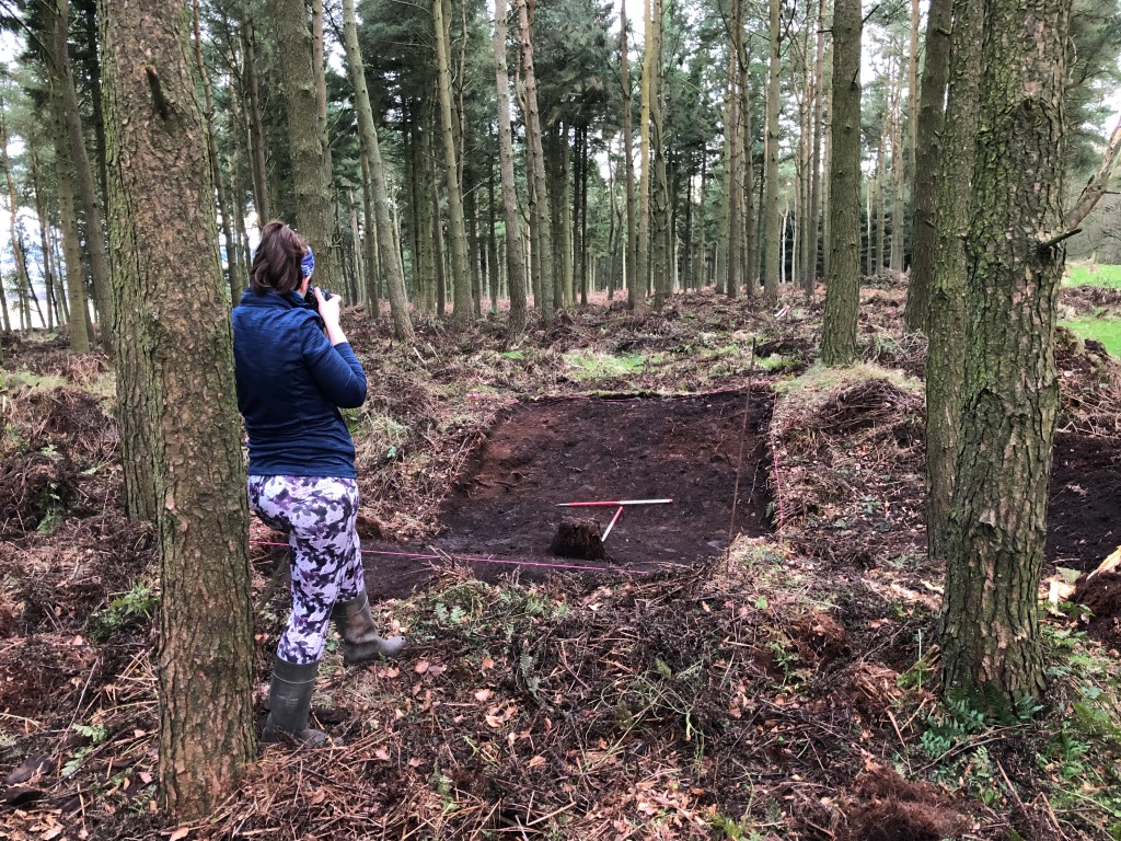
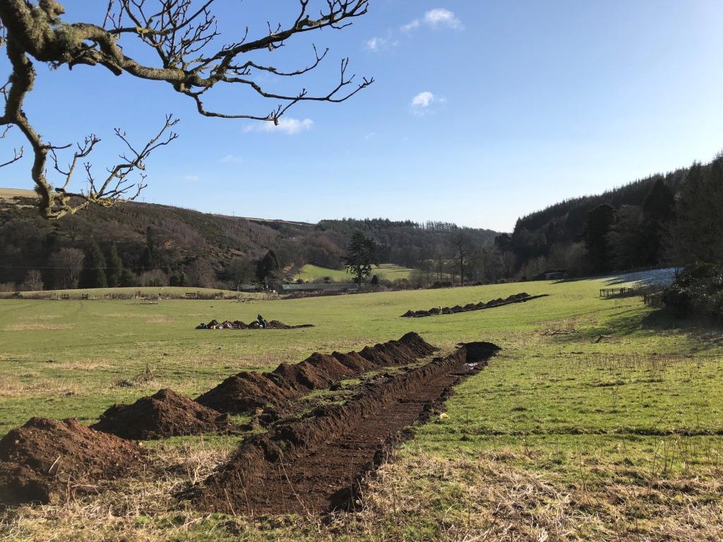
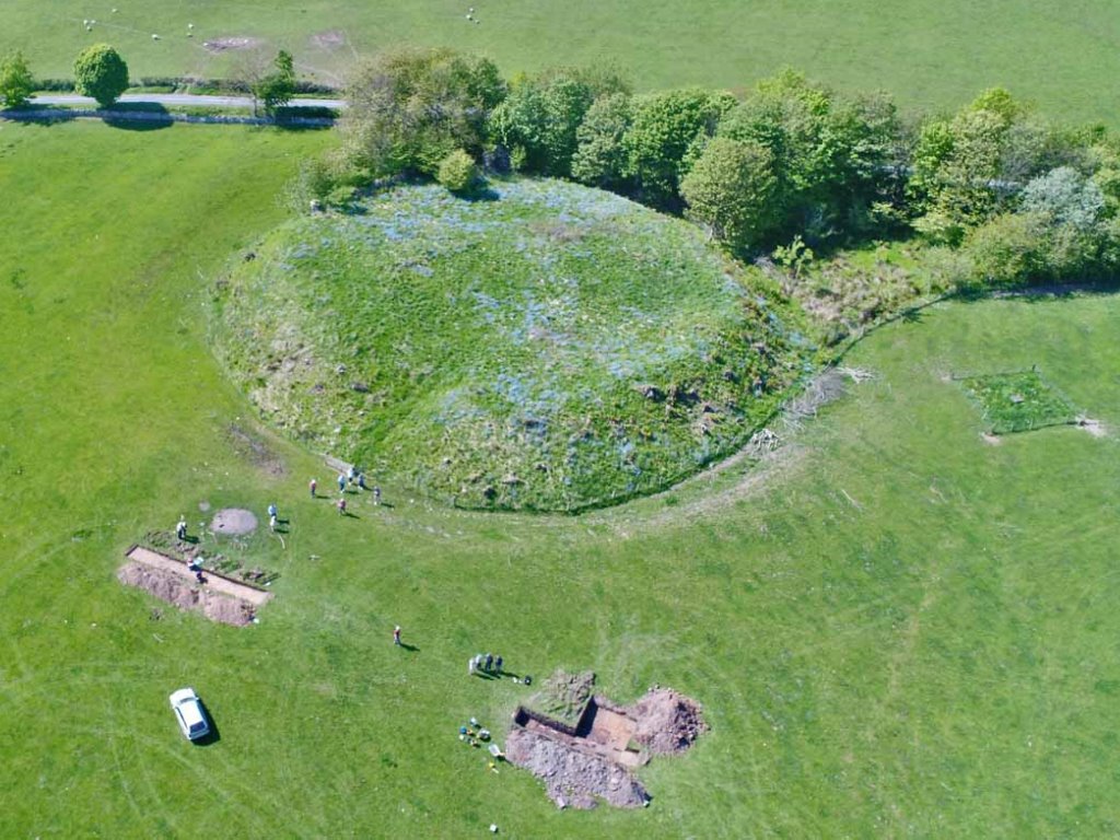
Excavations
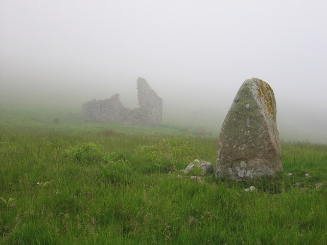
Morham Castle
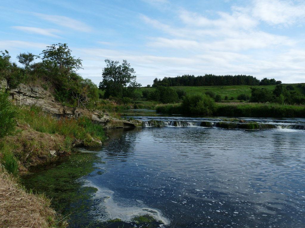
Bothwell Water Valley Sheepcote
Whiteadder Reservoir Cairn
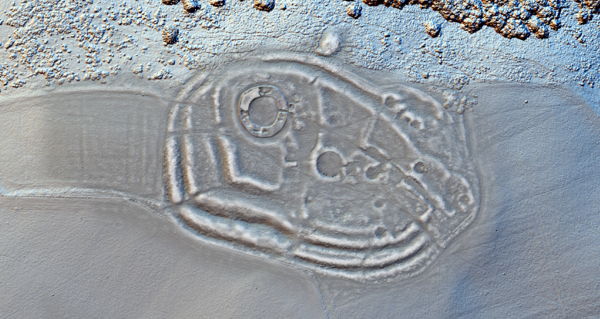
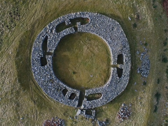
Bunkle Edge Enclosure
Chapel Field, Abbey St Bathans
Bunkle Medieval Village
Archaeology in the Landscape
Palaeontology
Ritual Landscapes
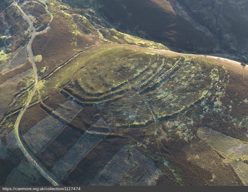
Brochs & Forts
Ancient Homes
Medieval Castles
Farming after 1600
Routes & Ways

Sheepfarming
Tracing Christianity
Place-names
Multimedia
Hillforts in 3D

RAMP
Rapid Archaeological Mapping of the Whiteadder